Agriculture
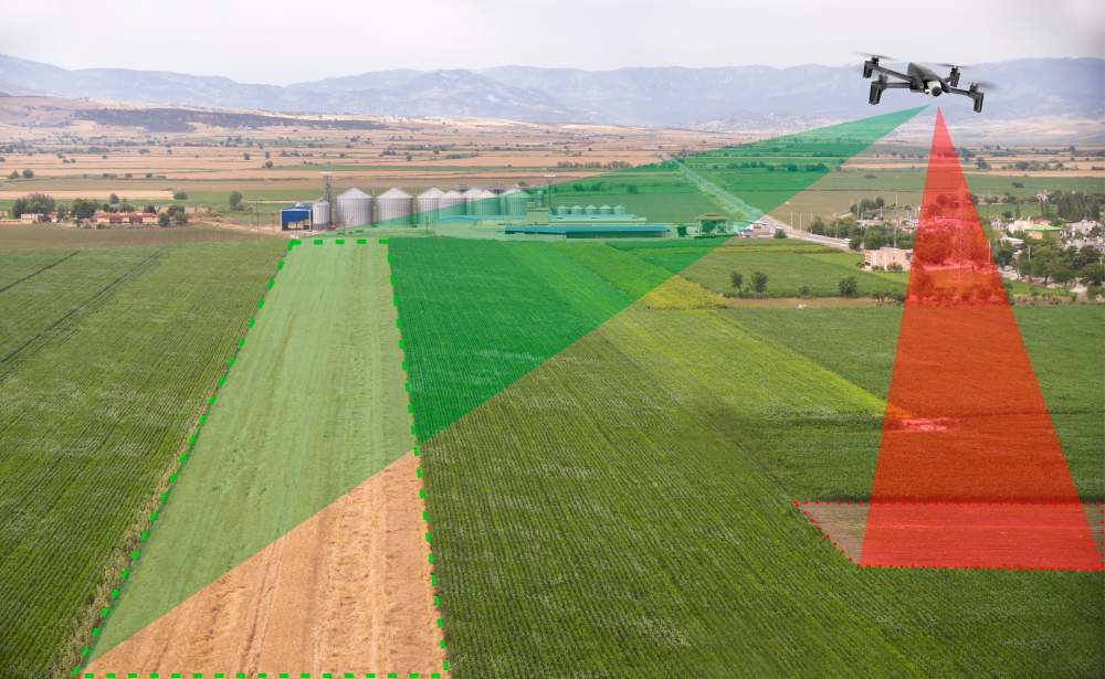
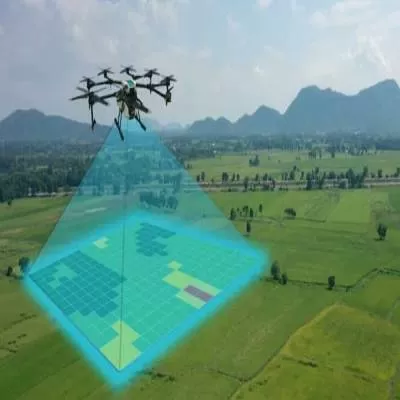
You can assess your crop/forest health to identify invasive threats and cost-effectively deliver variable-rate, low-volume, or prescription applications to increase yield.
Atlas Drone uses multi spectral technology, LIDAR, thermal imagery, photogrammetry as to recreate images or 3d images so you can accurately and cost effectively manage your resource.


